Categorical Map Type
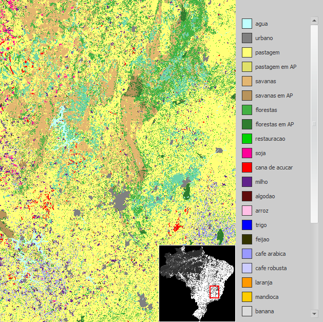
A Categorical Map is a Map whose cells represent classes or categories — vegetation type, soil type, sub-regions, and similar — and which is guaranteed to carry a Categorization associating those cell values with category names and colors. See Map Type for the grid, geographic format, and layer structure shared by both kinds of maps; a Categorical Map differs only in that its Categorization is required rather than optional.
GUI Editor
Input ports of type Categorical Map are non-editable, so a categorical map cannot be defined using an editor in the graphical interface — the same restriction described for the plain Map type. A Categorical Map value must always come from connecting an output produced by another functor — a loader such as Load Categorical Map, or a calculator such as Calculate Categorical Map — supplied by wiring that output to the input.
EGO Script
For the same reason, input ports of type Categorical Map cannot receive a constant in EGO Script — see Constants. A Categorical Map is always obtained by calling a functor that produces one, and reused by referencing the variable bound to its output. Its filename input, like Map's, is typed Map Filename — there is no separate filename type for categorical maps:
// Loads a categorical map with no null value defined, using the default storage mode.
landscape := LoadCategoricalMap "c:/data/landscape.tif" .none .default 0;
The storage options described on the Map Type page — in memory, as a sparse mapping of non-null cells, or paged from disk — apply equally to Categorical Maps, through functors such as Load Categorical Map and Calculate Categorical Map.
Automatic Conversions
- Converted from: None.
- Converted to: Map Type — this is subtyping: a Categorical Map is already, structurally, a Map, so no conversion logic runs; any port declared for Map Type accepts a Categorical Map directly. Projection Type and Categorization Type — these are ordinary registered conversions.
See Type System for the complete conversion reference across all types.